
永乐街道 topographic map
Interactive map
Click on the map to display elevation.
About this map
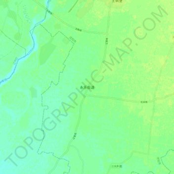
Name: 永乐街道 topographic map, elevation, terrain.
Location: 永乐街道, 沈阳市, 辽宁省, 中国 (41.54618 123.09633 41.62618 123.17633)
Average elevation: 89 ft
Minimum elevation: 66 ft
Maximum elevation: 105 ft
Other topographic maps
Click on a map to view its topography, its elevation and its terrain.