
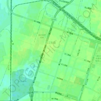
启工街道 topographic map
Interactive map
Click on the map to display elevation.
About this map
Name: 启工街道 topographic map, elevation, terrain.
Location: 启工街道, 铁西区, 沈阳市, 辽宁省, 中国 (41.79963 123.31104 41.83447 123.35265)
Average elevation: 148 ft
Minimum elevation: 125 ft
Maximum elevation: 161 ft
Other topographic maps
Click on a map to view its topography, its elevation and its terrain.