Geolocate

Chalybeate Spring topographic map

Click on the map to display elevation.

About this map

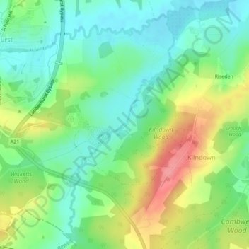
Name: Chalybeate Spring topographic map, elevation, terrain.

Location: Chalybeate Spring, Spring Walk, Lamberhurst, Kilndown, Tunbridge Wells, Kent, England, TN3 8JB, United Kingdom (51.09269 0.41493 51.09279 0.41503)

Average elevation: 213 ft

Minimum elevation: 105 ft

Maximum elevation: 394 ft

Other topographic maps

Click on a map to view its topography, its elevation and its terrain.

Gear up for your next adventure:

🔥Camping Stove - Portable stove for camping and backcountry cooking
🛌Ultralight Sleeping Bags - Compact down bags for cold nights in the wilderness
🧢Outdoor Hiking Hat - Sun protection hat for outdoor explorers
📶Satellite Messenger - Communication device off‑grid
🥾Hiking Shoes - Durable and comfortable shoes for trail hiking

As an Amazon Associate, this site earns from qualifying purchases at no extra cost to you.