Geolocate

Merta topographic map

Click on the map to display elevation.

About this map

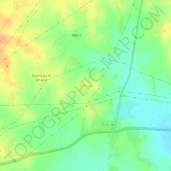
Name: Merta topographic map, elevation, terrain.

Location: Merta, Mavli Tehsil, Udaipur, Rajasthan, 313022, India (24.61549 73.83838 24.65549 73.87838)

Average elevation: 1,745 ft

Minimum elevation: 1,690 ft

Maximum elevation: 1,804 ft

Gear up for your next adventure:

🌐World Map Poster - Decorative world maps with topographic info
🏥Hiking First Aid Kits - Comprehensive medical kits for remote trail injuries
🚁Photography Drones - Capture stunning aerial views of landforms and topography
🗺️NatGeo Topo Maps - High-quality waterproof printed topographic maps of US Parks
🧣Merino Neck Gaiters - Multi-functional headwear for wind and sun protection

As an Amazon Associate, this site earns from qualifying purchases at no extra cost to you.