
West Kallada topographic map
Click on the map to display elevation.
About this map
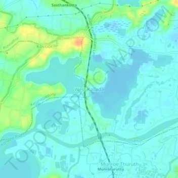
Name: West Kallada topographic map, elevation, terrain.
Location: West Kallada, Kunnathur, Kollam District, Kerala, 690538, India (8.99144 76.58669 9.03144 76.62669)
Average elevation: 26 ft
Minimum elevation: -7 ft
Maximum elevation: 115 ft