Geolocate

Dormagen topographic map

Click on the map to display elevation.

About this map

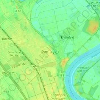
Name: Dormagen topographic map, elevation, terrain.

Location: Dormagen, Rhein-Kreis Neuss, North Rhine-Westphalia, 41539, Germany (51.07440 6.81239 51.11503 6.84857)

Average elevation: 138 ft

Minimum elevation: 105 ft

Maximum elevation: 174 ft

Other topographic maps

Click on a map to view its topography, its elevation and its terrain.

Duisburg

Germany > North Rhine-Westphalia > Duisburg > Duisburg

Average elevation: 164 ft

Warburg

Germany > North Rhine-Westphalia > Kreis Höxter > Warburg > Warburg

Average elevation: 696 ft

Gear up for your next adventure:

🏕️Tent Footprint - Protect your tent base from wear
❄️Traction Cleats - Prevent slips on icy trails during winter hikes
📡GPS Antenna Upgrade - Enhance GPS reception in remote terrain
📚Navigation Handbooks - Master the art of reading topographic maps and using a compass
🗺️Topographic Maps - Detailed topo maps for hiking, exploring and outdoor navigation

As an Amazon Associate, this site earns from qualifying purchases at no extra cost to you.