Geolocate

Menlle topographic map

Click on the map to display elevation.

About this map

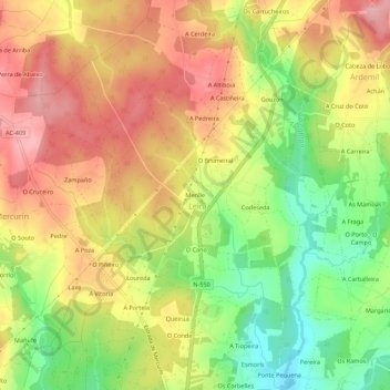
Name: Menlle topographic map, elevation, terrain.

Location: Menlle, Leira, Ordes, La Coruña, Galicia, 15680, España (43.09573 -8.42200 43.13573 -8.38200)

Average elevation: 1,158 ft

Minimum elevation: 892 ft

Maximum elevation: 1,388 ft

Gear up for your next adventure:

🧭GPS Watch Accessories - Bands and chargers for GPS watches
🦟Ultrasonic Repellers - Create a bug-free zone at your camp or rest stop
👓Polarized Sunglasses - Outdoor sunglasses for glare reduction
🎒Hydration Pack - Hands‑free water reservoir for long hikes
🪄Magnetic Compass - Accurate compass for navigation

As an Amazon Associate, this site earns from qualifying purchases at no extra cost to you.