
恰热克镇 topographic map
Interactive map
Click on the map to display elevation.
About this map
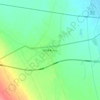
Name: 恰热克镇 topographic map, elevation, terrain.
Location: 恰热克镇, 莎车县, 喀什地区, 新疆维吾尔自治区, 中国 (38.33624 76.95488 38.41624 77.03488)
Average elevation: 4,124 ft
Minimum elevation: 4,052 ft
Maximum elevation: 4,301 ft
Other topographic maps
Click on a map to view its topography, its elevation and its terrain.