
塔尕尔其乡 topographic map
Interactive map
Click on the map to display elevation.
About this map
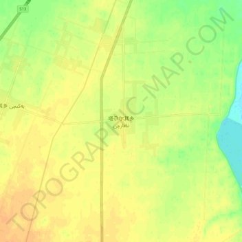
Name: 塔尕尔其乡 topographic map, elevation, terrain.
Location: 塔尕尔其乡, 莎车县, 喀什地区, 新疆维吾尔自治区, 中国 (38.50446 77.21442 38.58446 77.29442)
Average elevation: 3,986 ft
Minimum elevation: 3,924 ft
Maximum elevation: 4,022 ft
Other topographic maps
Click on a map to view its topography, its elevation and its terrain.