
Humantay Ccocha topographic map
Click on the map to display elevation.
About this map
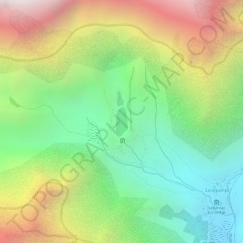
Name: Humantay Ccocha topographic map, elevation, terrain.
Location: Humantay Ccocha, Mollepata, Anta, Cusco, Peru (-13.38118 -72.58534 -13.37797 -72.58397)
Average elevation: 14,708 ft
Minimum elevation: 12,621 ft
Maximum elevation: 17,467 ft
Other topographic maps
Click on a map to view its topography, its elevation and its terrain.