Geolocate

Delmar topographic map

Click on the map to display elevation.

About this map

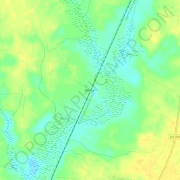
Name: Delmar topographic map, elevation, terrain.

Location: Delmar, Halifax County, North Carolina, United States (36.23571 -77.64692 36.27571 -77.60692)

Average elevation: 105 ft

Minimum elevation: 62 ft

Maximum elevation: 148 ft

Halifax County trails, hiking, mountain biking, running and outdoor activities

Other topographic maps

Click on a map to view its topography, its elevation and its terrain.

Weldon

United States > North Carolina > Halifax County

Average elevation: 95 ft

Gear up for your next adventure:

🧤Hiking Gloves - Protective gloves for rugged trails
🌡️Handheld Weather Meters - Measure wind, temp, and pressure for safe mountain travel
🦺Reflective Outdoor Gear - Safety gear for low‑light conditions
🎒Day Hiking Backpack - Lightweight backpack perfect for day trips and outdoor adventures
🪶Thermal Camp Blanket - Extra warmth for cold nights

As an Amazon Associate, this site earns from qualifying purchases at no extra cost to you.