
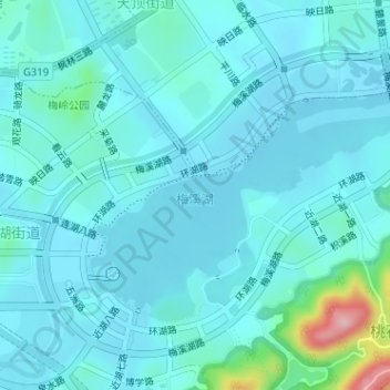
梅溪湖 topographic map
Interactive map
Click on the map to display elevation.
About this map
Name: 梅溪湖 topographic map, elevation, terrain.
Location: 梅溪湖, 梅溪湖街道, 长沙市, 岳麓区, 长沙市, 湖南省, 中国 (28.18199 112.87921 28.20015 112.91111)
Average elevation: 171 ft
Minimum elevation: 98 ft
Maximum elevation: 673 ft
Other topographic maps
Click on a map to view its topography, its elevation and its terrain.