
咸嘉湖街道 topographic map
Interactive map
Click on the map to display elevation.
About this map
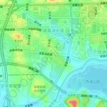
Name: 咸嘉湖街道 topographic map, elevation, terrain.
Location: 咸嘉湖街道, 长沙市, 岳麓区, 长沙市, 湖南省, 中国 (28.20407 112.91452 28.22898 112.92923)
Average elevation: 164 ft
Minimum elevation: 95 ft
Maximum elevation: 318 ft
Other topographic maps
Click on a map to view its topography, its elevation and its terrain.