
Thank you for supporting this site ❤️
Make a donation
Make a donation
Gear up for your next adventure:
As an Amazon Associate, this site earns from qualifying purchases at no extra cost to you.
Al YAhmadi topographic map
Click on the map to display elevation.
Thank you for supporting this site ❤️
Make a donation
Make a donation
Gear up for your next adventure:
As an Amazon Associate, this site earns from qualifying purchases at no extra cost to you.
About this map
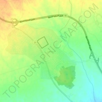
Name: Al YAhmadi topographic map, elevation, terrain.
Location: Al YAhmadi, Ash Sharqiyah North Governorate, Oman (22.75000 58.48000 22.79000 58.52000)
Average elevation: 1,585 ft
Minimum elevation: 1,522 ft
Maximum elevation: 1,644 ft
Thank you for supporting this site ❤️
Make a donation
Make a donation
Gear up for your next adventure:
As an Amazon Associate, this site earns from qualifying purchases at no extra cost to you.