Geolocate

Mon topographic map

Click on the map to display elevation.

About this map

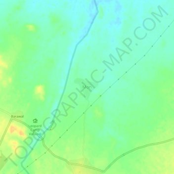
Name: Mon topographic map, elevation, terrain.

Location: Mon, Bali Tehsil, Pali District, Rajasthan, 306128, India (25.00439 73.15764 25.04439 73.19764)

Average elevation: 1,043 ft

Minimum elevation: 1,007 ft

Maximum elevation: 1,099 ft

Gear up for your next adventure:

🧢Sun Protection Hats - Wide-brimmed and UPF-rated hats for high-altitude sun safety
🪶Camping Sleeping Pad - Comfortable sleeping pad for backpacking
🦟Ultrasonic Repellers - Create a bug-free zone at your camp or rest stop
🔪Outdoor Multitools - Essential survival tools for gear repair and field use
🧭Compass with Lanyard - Easy‑carry compass for navigation

As an Amazon Associate, this site earns from qualifying purchases at no extra cost to you.