Remus topographic map
Interactive map
Click on the map to display elevation.
About this map
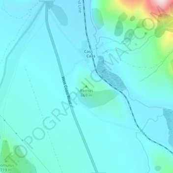
Name: Remus topographic map, elevation, terrain.
Location: Remus, Selwyn District, Canterbury, New Zealand (-43.04141 171.75595 -43.04131 171.75605)
Average elevation: 2,034 ft
Minimum elevation: 1,837 ft
Maximum elevation: 3,399 ft
Other topographic maps
Click on a map to view its topography, its elevation and its terrain.
West Melton
New Zealand > Canterbury > Selwyn District
West Melton, Selwyn District, Canterbury, 7618, New Zealand
Average elevation: 289 ft
Red Hill
New Zealand > Canterbury > Selwyn District
Red Hill, Selwyn District, Canterbury, New Zealand
Average elevation: 3,878 ft
Knuckles
New Zealand > Canterbury > Selwyn District
Knuckles, Selwyn District, Canterbury, New Zealand
Average elevation: 3,215 ft