Geolocate

English topographic map

Click on the map to display elevation.

About this map

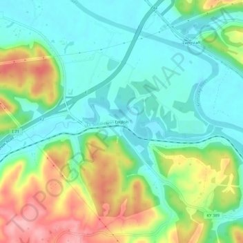
Name: English topographic map, elevation, terrain.

Location: English, Carroll County, Kentucky, United States (38.60840 -85.14801 38.64840 -85.10801)

Average elevation: 584 ft

Minimum elevation: 433 ft

Maximum elevation: 883 ft

Carroll County trails, hiking, mountain biking, running and outdoor activities

Gear up for your next adventure:

👓Polarized Sunglasses - Outdoor sunglasses for glare reduction
🗺️NatGeo Topo Maps - High-quality waterproof printed topographic maps of US Parks
🧯Portable Fire Pit - Compact fire pit for camping spots
🪶Thermal Camp Blanket - Extra warmth for cold nights
🦶Carbon Trekking Poles - Reduce knee impact on steep descents with ultra-light poles

As an Amazon Associate, this site earns from qualifying purchases at no extra cost to you.