Geolocate

Pine Lakes topographic map

Click on the map to display elevation.

About this map

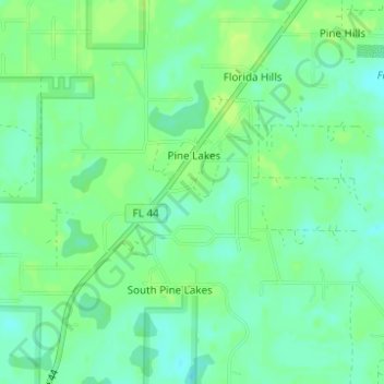
Name: Pine Lakes topographic map, elevation, terrain.

Location: Pine Lakes, Lake County, Florida, United States (28.92740 -81.44409 28.94964 -81.41695)

Average elevation: 46 ft

Minimum elevation: 23 ft

Maximum elevation: 66 ft

Lake County trails, hiking, mountain biking, running and outdoor activities

Gear up for your next adventure:

🗺️Topographic Maps - Detailed topo maps for hiking, exploring and outdoor navigation
👟Trail Running Shoes - Lightweight shoes for trail runners
🧭GPS Watch Accessories - Bands and chargers for GPS watches
🧥Men's Rain Shells - Premium waterproof and breathable jackets for mountain weather
🏔️Mountain Trail Maps - High‑detail maps for popular peaks

As an Amazon Associate, this site earns from qualifying purchases at no extra cost to you.