Geolocate

Stevens Peak topographic map

Click on the map to display elevation.

About this map

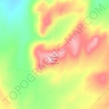
Name: Stevens Peak topographic map, elevation, terrain.

Location: Stevens Peak, Bingham County, Idaho, United States (43.13598 -112.29475 43.13608 -112.29465)

Average elevation: 4,993 ft

Minimum elevation: 4,633 ft

Maximum elevation: 5,322 ft

Bingham County trails, hiking, mountain biking, running and outdoor activities

Other topographic maps

Click on a map to view its topography, its elevation and its terrain.

Blackfoot

United States > Idaho > Bingham County

Average elevation: 4,498 ft

Blackfoot

United States > Idaho > Bingham County

Average elevation: 4,498 ft

Firth

United States > Idaho > Bingham County

Average elevation: 4,577 ft

Gear up for your next adventure:

Backpacking Tent - Lightweight and durable tent for multi‑day hikes
🥩Freeze-Dried Meals - Nutritious and lightweight food for remote expeditions
🌄Hiking Binoculars - Compact binoculars for scenic views and trail spotting
Camping Coffee Makers - Enjoy premium coffee at the summit or campsite
📡GPS Antenna Upgrade - Enhance GPS reception in remote terrain

As an Amazon Associate, this site earns from qualifying purchases at no extra cost to you.