Geolocate

Kiamichi topographic map

Click on the map to display elevation.

About this map

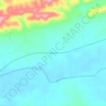
Name: Kiamichi topographic map, elevation, terrain.

Location: Kiamichi, Pushmataha County, Oklahoma, United States (34.61538 -95.19885 34.65538 -95.15885)

Average elevation: 715 ft

Minimum elevation: 574 ft

Maximum elevation: 1,273 ft

Pushmataha County trails, hiking, mountain biking, running and outdoor activities

Gear up for your next adventure:

🚪Portable Camp Chair - Foldable chair for comfort at camp
🎒Trail Energy Bars - High‑calorie bars for hiking energy
💧Water Purification System - Clean water on the trail with reliable purifiers
🩳Quick‑Dry Hiking Shorts - Comfortable and quick‑dry shorts for summer hiking
GPS Sports Watch - GPS watch for running, hiking and training

As an Amazon Associate, this site earns from qualifying purchases at no extra cost to you.