Geolocate

Kamuthi topographic map

Click on the map to display elevation.

About this map

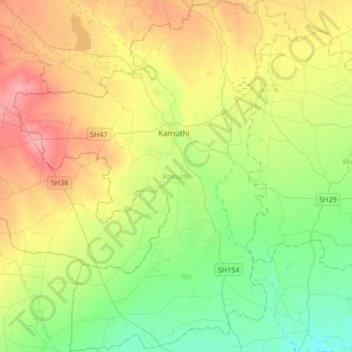
Name: Kamuthi topographic map, elevation, terrain.

Location: Kamuthi, Ramanathapuram District, Tamil Nadu, India (9.20213 78.21491 9.53431 78.48560)

Average elevation: 121 ft

Minimum elevation: 23 ft

Maximum elevation: 262 ft

Gear up for your next adventure:

🛰️Satellite Messengers - Emergency SOS and two-way messaging for off-grid adventures
🪶LED Camping Lantern - Bright lantern for camp lighting
🧤Tactile Hiking Gloves - Keep hands warm while operating GPS and smartphone screens
🥩Freeze-Dried Meals - Nutritious and lightweight food for remote expeditions
🦺Reflective Outdoor Gear - Safety gear for low‑light conditions

As an Amazon Associate, this site earns from qualifying purchases at no extra cost to you.