
Thank you for supporting this site ❤️
Make a donation
Make a donation
Gear up for your next adventure:
As an Amazon Associate, this site earns from qualifying purchases at no extra cost to you.
Tamboya topographic map
Click on the map to display elevation.
Thank you for supporting this site ❤️
Make a donation
Make a donation
Gear up for your next adventure:
As an Amazon Associate, this site earns from qualifying purchases at no extra cost to you.
About this map
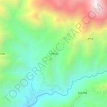
Name: Tamboya topographic map, elevation, terrain.
Location: Tamboya, Yamango, Morropón, Piura, Perú (-5.18721 -79.79844 -5.14721 -79.75844)
Average elevation: 3,327 ft
Minimum elevation: 1,762 ft
Maximum elevation: 6,260 ft
Thank you for supporting this site ❤️
Make a donation
Make a donation
Gear up for your next adventure:
As an Amazon Associate, this site earns from qualifying purchases at no extra cost to you.