
Thank you for supporting this site ❤️
Make a donation
Make a donation
Gear up for your next adventure:
As an Amazon Associate, this site earns from qualifying purchases at no extra cost to you.
Mulawa topographic map
Click on the map to display elevation.
Thank you for supporting this site ❤️
Make a donation
Make a donation
Gear up for your next adventure:
As an Amazon Associate, this site earns from qualifying purchases at no extra cost to you.
About this map
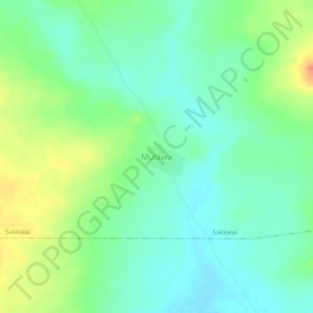
Name: Mulawa topographic map, elevation, terrain.
Location: Mulawa, Sakkwai, Tangaza, Sokoto State, Nigeria (13.56639 4.80644 13.60639 4.84644)
Average elevation: 837 ft
Minimum elevation: 784 ft
Maximum elevation: 935 ft
Thank you for supporting this site ❤️
Make a donation
Make a donation
Gear up for your next adventure:
As an Amazon Associate, this site earns from qualifying purchases at no extra cost to you.