
Kotapad topographic map
Click on the map to display elevation.
About this map
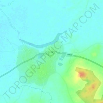
Name: Kotapad topographic map, elevation, terrain.
Location: Kotapad, Kotpad, Koraput, Odisha, 764058, India (19.12304 82.30428 19.16304 82.34428)
Average elevation: 1,827 ft
Minimum elevation: 1,798 ft
Maximum elevation: 1,923 ft