Geolocate

A Cabra topographic map

Click on the map to display elevation.

About this map

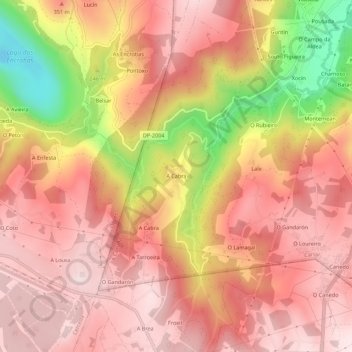
Name: A Cabra topographic map, elevation, terrain.

Location: A Cabra, Sumio, Carral, La Coruña, Galicia, 15187, España (43.15941 -8.41652 43.19941 -8.37652)

Average elevation: 961 ft

Minimum elevation: 16 ft

Maximum elevation: 1,414 ft

Gear up for your next adventure:

🔌Solar Panel Charger - Charge gear sustainably outdoors
📶Vehicle Signal Boosters - Improve reception in rural areas while driving to trailheads
🥾Women's Hiking Boots - Top-rated trail boots with ankle support and superior grip
🌎3D Topographic Globes - Raised relief globes for a tactile understanding of geography
🍳Camping Cook Set - Complete cookware for outdoor meals

As an Amazon Associate, this site earns from qualifying purchases at no extra cost to you.