Geolocate
👉 Easily get elevation data in JSON, GeoTIFF and KML formats using Elevation API
Thank you for supporting this site ❤️
Make a donation

Salt Flat topographic map

Click on the map to display elevation.

About this map

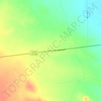
Name: Salt Flat topographic map, elevation, terrain.

Location: Salt Flat, Hudspeth County, Texas, United States (31.72373 -105.11273 31.76373 -105.07273)

Average elevation: 3,717 ft

Minimum elevation: 3,642 ft

Maximum elevation: 3,789 ft

Other topographic maps

Click on a map to view its topography, its elevation and its terrain.

Dustups Ranch

United States > Texas > Hudspeth County

Average elevation: 3,891 ft

Dell City

United States > Texas > Hudspeth County

Average elevation: 3,704 ft

Gear up for your next adventure:

📡Handheld GPS Device - Reliable handheld GPS for outdoor navigation
🏕️Tent Footprint - Protect your tent base from wear
📻Weather Alert Radios - Stay informed of storm risks while off-the-grid
🧤Hiking Gloves - Protective gloves for rugged trails
🗺️NatGeo Topo Maps - High-quality waterproof printed topographic maps of US Parks

As an Amazon Associate, this site earns from qualifying purchases at no extra cost to you.