Geolocate

Adda Road topographic map

Click on the map to display elevation.

About this map

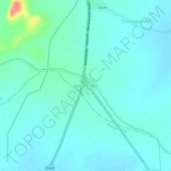
Name: Adda Road topographic map, elevation, terrain.

Location: Adda Road, Nekarikallu, Palnadu, Andhra Pradesh, India (16.31674 79.92957 16.35674 79.96957)

Average elevation: 394 ft

Minimum elevation: 348 ft

Maximum elevation: 666 ft

Gear up for your next adventure:

🎒Gear Packing Cubes - Organize your backpack efficiently
🪄Magnetic Compass - Accurate compass for navigation
🧭Hiking Compass - Precision compass for reliable navigation in the wilderness
💧Water Purification System - Clean water on the trail with reliable purifiers
🔥Fast-Boil Camping Stoves - Efficient cooking systems for quick trail meals

As an Amazon Associate, this site earns from qualifying purchases at no extra cost to you.