
Garmerwolde topographic map
Interactive map
Click on the map to display elevation.
About this map
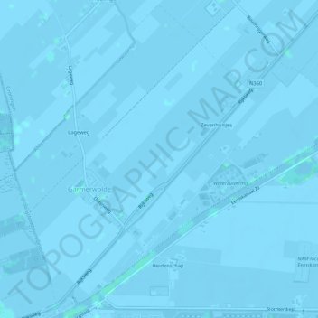
Name: Garmerwolde topographic map, elevation, terrain.
Location: Garmerwolde, Groningen, Niederlande (53.23506 6.63621 53.26580 6.68905)
Average elevation: -3 ft
Minimum elevation: -16 ft
Maximum elevation: 10 ft
Other topographic maps
Click on a map to view its topography, its elevation and its terrain.