
Ten Post topographic map
Interactive map
Click on the map to display elevation.
About this map
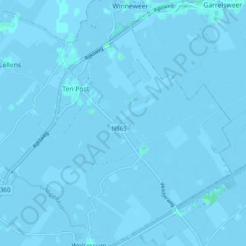
Name: Ten Post topographic map, elevation, terrain.
Location: Ten Post, Groningen, Niederlande (53.27540 6.70418 53.30775 6.77253)
Average elevation: -3 ft
Minimum elevation: -13 ft
Maximum elevation: 10 ft
Other topographic maps
Click on a map to view its topography, its elevation and its terrain.
Garmerwolde
Niederlande > Groningen > Groningen
Garmerwolde, Groningen, Niederlande
Average elevation: -3 ft