Geolocate

San Isidro topographic map

Click on the map to display elevation.

About this map

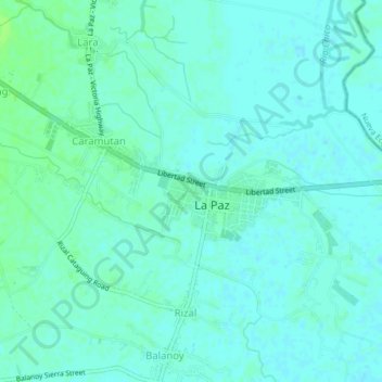
Name: San Isidro topographic map, elevation, terrain.

Location: San Isidro, La Paz, Tarlac, Central Luzon, 2314, Philippines (15.42260 120.70666 15.46260 120.74666)

Average elevation: 62 ft

Minimum elevation: 49 ft

Maximum elevation: 79 ft

Gear up for your next adventure:

🦟Ultrasonic Repellers - Create a bug-free zone at your camp or rest stop
🎒Trail Energy Bars - High‑calorie bars for hiking energy
🔋Solar Power Banks - Keep your GPS and phone charged in remote wilderness areas
🖼️Topo Map Wall Art - Decorative topographic prints of famous peaks and regions
🧼Biodegradable Camping Soap - Eco‑friendly soap for outdoor hygiene

As an Amazon Associate, this site earns from qualifying purchases at no extra cost to you.