
Two Taverns topographic map
Click on the map to display elevation.
About this map
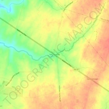
Name: Two Taverns topographic map, elevation, terrain.
Average elevation: 548 ft
Minimum elevation: 436 ft
Maximum elevation: 614 ft
Adams County trails, hiking, mountain biking, running and outdoor activities
Other topographic maps
Click on a map to view its topography, its elevation and its terrain.
Lake Heritage
United States > Pennsylvania > Adams County > Mount Joy Township > Lake Heritage
Average elevation: 515 ft