
Cerro de La Higuera topographic map
Interactive map
Click on the map to display elevation.
About this map
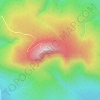
Name: Cerro de La Higuera topographic map, elevation, terrain.
Average elevation: 6,017 ft
Minimum elevation: 5,285 ft
Maximum elevation: 6,814 ft
Other topographic maps
Click on a map to view its topography, its elevation and its terrain.
Ixtlahuacán del Río
México > Jalisco > Ixtlahuacán del Río
Ixtlahuacán del Río, Jalisco, México
Average elevation: 5,210 ft