
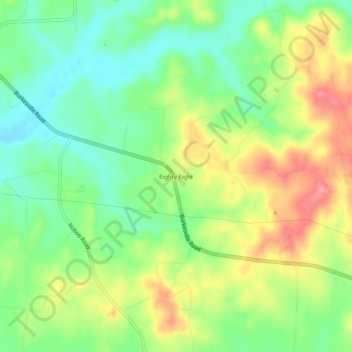
Eighty Eight topographic map
Click on the map to display elevation.
About this map
Name: Eighty Eight topographic map, elevation, terrain.
Location: Eighty Eight, Barren County, Kentucky, United States (36.89839 -85.80636 36.93839 -85.76636)
Average elevation: 791 ft
Minimum elevation: 663 ft
Maximum elevation: 958 ft
Barren County trails, hiking, mountain biking, running and outdoor activities