Geolocate

Westbrook topographic map

Click on the map to display elevation.

About this map

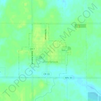
Name: Westbrook topographic map, elevation, terrain.

Location: Westbrook, Cottonwood County, Minnesota, United States (44.03628 -95.44636 44.05080 -95.42701)

Average elevation: 1,430 ft

Minimum elevation: 1,407 ft

Maximum elevation: 1,447 ft

Cottonwood County trails, hiking, mountain biking, running and outdoor activities

Gear up for your next adventure:

🧤Tactile Hiking Gloves - Keep hands warm while operating GPS and smartphone screens
🛠️Outdoor Gear Repair Kit - Essential tools to fix gear on the trail
🗺️NatGeo Topo Maps - High-quality waterproof printed topographic maps of US Parks
🔌USB Car Charger - Car charger for on‑the‑go power needs
🗻Climbing Gear Basics - Essential gear for beginner climbers

As an Amazon Associate, this site earns from qualifying purchases at no extra cost to you.