Geolocate

Elbow topographic map

Click on the map to display elevation.

Elbow

The elevation is 2,549 feet (777 m).

Wikipedia (CC-BY-SA 3.0)

About this map

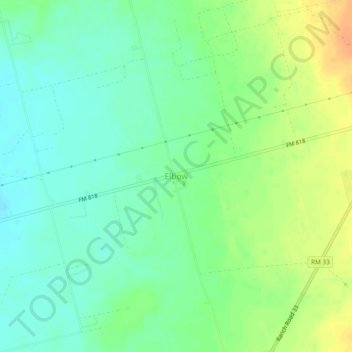
Name: Elbow topographic map, elevation, terrain.

Location: Elbow, Howard County, Texas, United States (32.14040 -101.53207 32.18040 -101.49207)

Average elevation: 2,556 ft

Minimum elevation: 2,507 ft

Maximum elevation: 2,628 ft

Howard County trails, hiking, mountain biking, running and outdoor activities

Other topographic maps

Click on a map to view its topography, its elevation and its terrain.

Big Spring

United States > Texas > Howard County

Average elevation: 2,562 ft

Gear up for your next adventure:

🥘Titanium Cookware - Durable, featherlight pots and pans for backpacking
🪶Fire Starter Kit - Reliable fire starter for survival and camping
🔭Compact Binoculars - HD vision for scouting terrain and identifying distant landmarks
🍳Camping Cook Set - Complete cookware for outdoor meals
💧Water Purification System - Clean water on the trail with reliable purifiers

As an Amazon Associate, this site earns from qualifying purchases at no extra cost to you.