Geolocate

Black topographic map

Click on the map to display elevation.

About this map

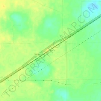
Name: Black topographic map, elevation, terrain.

Location: Black, Parmer County, Texas, United States (34.66257 -102.62938 34.70257 -102.58938)

Average elevation: 3,993 ft

Minimum elevation: 3,950 ft

Maximum elevation: 4,026 ft

Parmer County trails, hiking, mountain biking, running and outdoor activities

Other topographic maps

Click on a map to view its topography, its elevation and its terrain.

Friona

United States > Texas > Parmer County

Average elevation: 4,029 ft

Gear up for your next adventure:

😴Insulated Sleeping Pads - Compact and warm pads for high-elevation camping
🪵Folding Camp Saw - Compact saw for wood and campsite work
🎒Trekking Poles - Sturdy poles for balance and stability on rough terrain
🎁Geography Themed Gifts - Unique gift ideas for map lovers and geography enthusiasts
🌄Hiking Binoculars - Compact binoculars for scenic views and trail spotting

As an Amazon Associate, this site earns from qualifying purchases at no extra cost to you.