Geolocate

Long Lane topographic map

Click on the map to display elevation.

About this map

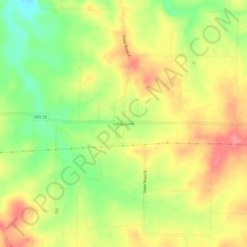
Name: Long Lane topographic map, elevation, terrain.

Location: Long Lane, Dallas County, Missouri, 65590, United States (37.59143 -92.92935 37.63143 -92.88935)

Average elevation: 1,165 ft

Minimum elevation: 1,024 ft

Maximum elevation: 1,283 ft

Dallas County trails, hiking, mountain biking, running and outdoor activities

Other topographic maps

Click on a map to view its topography, its elevation and its terrain.

Buffalo

United States > Missouri > Dallas County

Average elevation: 1,115 ft

Louisburg

United States > Missouri > Dallas County

Average elevation: 1,142 ft

Gear up for your next adventure:

📖Nature Tracking Books - Learn to track wildlife and terrain
🪶Camp Gear Gift Set - Perfect gift bundle for outdoor fans
📌Outdoor GPS Map App - Apps and devices for digital topographic navigation
🔋Rechargeable Batteries - Power up your outdoor devices
🦟Ultrasonic Repellers - Create a bug-free zone at your camp or rest stop

As an Amazon Associate, this site earns from qualifying purchases at no extra cost to you.