Geolocate

Del Pilar topographic map

Click on the map to display elevation.

About this map

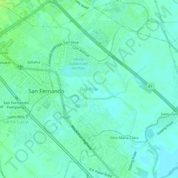
Name: Del Pilar topographic map, elevation, terrain.

Location: Del Pilar, San Fernando, Pampanga, Central Luzon, 2000, Philippines (15.00869 120.68378 15.04869 120.72378)

Average elevation: 16 ft

Minimum elevation: 0 ft

Maximum elevation: 33 ft

Other topographic maps

Click on a map to view its topography, its elevation and its terrain.

Gear up for your next adventure:

📡Handheld GPS Device - Reliable handheld GPS for outdoor navigation
🕶️Glacier Sunglasses - Side shields to protect eyes from high-altitude snow glare
🚑Emergency Bivvies - Heat-reflective sleeping bags for survival situations
🗺️NatGeo Topo Maps - High-quality waterproof printed topographic maps of US Parks
🛏️Cold Weather Sleeping Bag - Warm sleeping bag for cold conditions

As an Amazon Associate, this site earns from qualifying purchases at no extra cost to you.