
Konsari topographic map
Click on the map to display elevation.
About this map
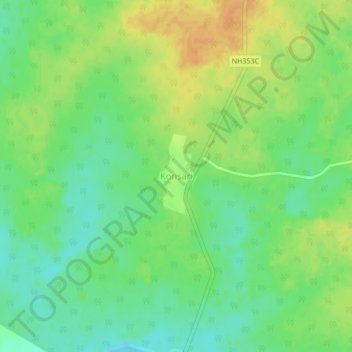
Name: Konsari topographic map, elevation, terrain.
Location: Konsari, Chamorshi, Gadchiroli, Maharashtra, India (19.74380 79.78988 19.78380 79.82988)
Average elevation: 568 ft
Minimum elevation: 515 ft
Maximum elevation: 630 ft