Geolocate

Raigad topographic map

Click on the map to display elevation.

About this map

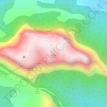
Name: Raigad topographic map, elevation, terrain.

Location: Raigad, Hirkaniwadi, Mahad, Raigad, Maharashtra, 402104, India (18.23456 73.44872 18.23466 73.44882)

Average elevation: 1,490 ft

Minimum elevation: 390 ft

Maximum elevation: 2,841 ft

Gear up for your next adventure:

🧼Biodegradable Camping Soap - Eco‑friendly soap for outdoor hygiene
🧣Merino Neck Gaiters - Multi-functional headwear for wind and sun protection
🪶Camping Sleeping Pad - Comfortable sleeping pad for backpacking
🥇GPS Hiking Watch - Multi‑sport GPS watch with navigation and trail tracking
📶Vehicle Signal Boosters - Improve reception in rural areas while driving to trailheads

As an Amazon Associate, this site earns from qualifying purchases at no extra cost to you.