Geolocate

Dapoli topographic map

Click on the map to display elevation.

About this map
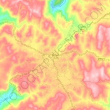
Name: Dapoli topographic map, elevation, terrain.

Location: Dapoli, Dapoli Taluka, Ratnagiri, Maharashtra, 415712, India (17.71805 73.14871 17.79805 73.22871)

Average elevation: 591 ft

Minimum elevation: 20 ft

Maximum elevation: 919 ft

Gear up for your next adventure:

🛰️Satellite Messengers - Emergency SOS and two-way messaging for off-grid adventures
🌄Hiking Binoculars - Compact binoculars for scenic views and trail spotting
🧢Outdoor Hiking Hat - Sun protection hat for outdoor explorers
🪶Multi‑Purpose Knife - Useful blade for camp and trail
🎁Geography Themed Gifts - Unique gift ideas for map lovers and geography enthusiasts

As an Amazon Associate, this site earns from qualifying purchases at no extra cost to you.