Geolocate

Chile topographic map

Click on the map to display elevation.

About this map

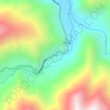
Name: Chile topographic map, elevation, terrain.

Location: Chile, Marcapata, Province of Quispicanchis, Cusco, Peru (-13.57148 -70.91156 -13.53148 -70.87156)

Average elevation: 8,235 ft

Minimum elevation: 6,273 ft

Maximum elevation: 11,391 ft

Gear up for your next adventure:

🛌Ultralight Sleeping Bags - Compact down bags for cold nights in the wilderness
📷Action Cameras - Rugged cameras to document your journeys across rugged terrain
🎒Hydration Pack - Hands‑free water reservoir for long hikes
📶Satellite Messenger - Communication device off‑grid
📷Action Camera - Capture your outdoor adventures in HD

As an Amazon Associate, this site earns from qualifying purchases at no extra cost to you.