
Thank you for supporting this site ❤️
Make a donation
Make a donation
Gear up for your next adventure:
As an Amazon Associate, this site earns from qualifying purchases at no extra cost to you.
Kanggar topographic map
Click on the map to display elevation.
Thank you for supporting this site ❤️
Make a donation
Make a donation
Gear up for your next adventure:
As an Amazon Associate, this site earns from qualifying purchases at no extra cost to you.
About this map
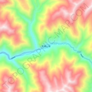
Name: Kanggar topographic map, elevation, terrain.
Location: Kanggar, Kangding, Kardze, Sichuan, 626000, China (29.43391 101.50264 29.51391 101.58264)
Average elevation: 13,527 ft
Minimum elevation: 11,388 ft
Maximum elevation: 15,653 ft
Thank you for supporting this site ❤️
Make a donation
Make a donation
Gear up for your next adventure:
As an Amazon Associate, this site earns from qualifying purchases at no extra cost to you.