Geolocate

Kanggar topographic map

Click on the map to display elevation.

About this map

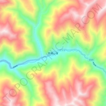
Name: Kanggar topographic map, elevation, terrain.

Location: Kanggar, Kangding, Kardze, Sichuan, 626000, China (29.43391 101.50264 29.51391 101.58264)

Average elevation: 13,527 ft

Minimum elevation: 11,388 ft

Maximum elevation: 15,653 ft

Gear up for your next adventure:

🦺Reflective Outdoor Gear - Safety gear for low‑light conditions
🩹Survival Bandages - High‑quality bandages for emergencies
🧴Hand Sanitizer - Keep hands clean while hiking
📚USA Hiking Guide Books - Top trail guides and map books
🍳Camping Cook Set - Complete cookware for outdoor meals

As an Amazon Associate, this site earns from qualifying purchases at no extra cost to you.