
Welton topographic map
Interactive map
Click on the map to display elevation.
About this map
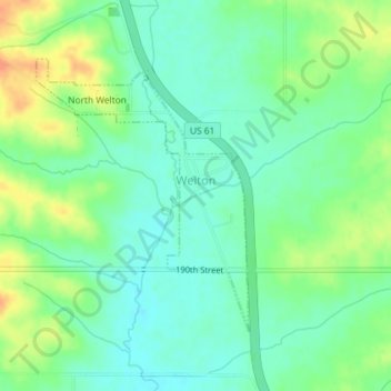
Name: Welton topographic map, elevation, terrain.
Location: Welton, Clinton County, Iowa, United States (41.89760 -90.61026 41.91648 -90.59048)
Average elevation: 725 ft
Minimum elevation: 676 ft
Maximum elevation: 810 ft
Other topographic maps
Click on a map to view its topography, its elevation and its terrain.
Clinton
United States > Iowa > Clinton County
Clinton, Clinton County, Iowa, United States
Average elevation: 646 ft
Low Moor
United States > Iowa > Clinton County
Low Moor, Clinton County, Iowa, 52757, United States
Average elevation: 650 ft