Geolocate

Rupnarayan topographic map

Click on the map to display elevation.

About this map

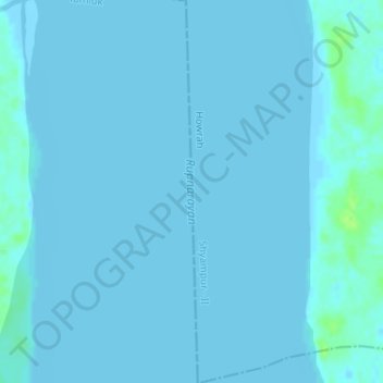
Name: Rupnarayan topographic map, elevation, terrain.

Location: Rupnarayan, Shyampur - II, Howrah, West Bengal, India (22.28042 87.94839 22.31048 87.94939)

Average elevation: 0 ft

Minimum elevation: -3 ft

Maximum elevation: 36 ft

Gear up for your next adventure:

GPS Sports Watch - GPS watch for running, hiking and training
🌲Outdoor Survival Books - Best books on survival skills
🧤Tactile Hiking Gloves - Keep hands warm while operating GPS and smartphone screens
🌎3D Topographic Globes - Raised relief globes for a tactile understanding of geography
🏫Relief Map Kits - Hands-on tools for teaching landforms and elevation

As an Amazon Associate, this site earns from qualifying purchases at no extra cost to you.