
Thank you for supporting this site ❤️
Make a donation
Make a donation
Gear up for your next adventure:
As an Amazon Associate, this site earns from qualifying purchases at no extra cost to you.
Colquepata topographic map
Click on the map to display elevation.
Thank you for supporting this site ❤️
Make a donation
Make a donation
Gear up for your next adventure:
As an Amazon Associate, this site earns from qualifying purchases at no extra cost to you.
About this map
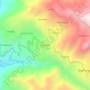
Name: Colquepata topographic map, elevation, terrain.
Location: Colquepata, Pfaco, Coyllurqui, Cotabambas, Apurímac, Perú (-13.84617 -72.47050 -13.80617 -72.43050)
Average elevation: 10,046 ft
Minimum elevation: 7,684 ft
Maximum elevation: 12,644 ft
Thank you for supporting this site ❤️
Make a donation
Make a donation
Gear up for your next adventure:
As an Amazon Associate, this site earns from qualifying purchases at no extra cost to you.