
Thank you for supporting this site ❤️
Make a donation
Make a donation
Gear up for your next adventure:
As an Amazon Associate, this site earns from qualifying purchases at no extra cost to you.
Mazouco topographic map
Click on the map to display elevation.
Thank you for supporting this site ❤️
Make a donation
Make a donation
Gear up for your next adventure:
As an Amazon Associate, this site earns from qualifying purchases at no extra cost to you.
About this map
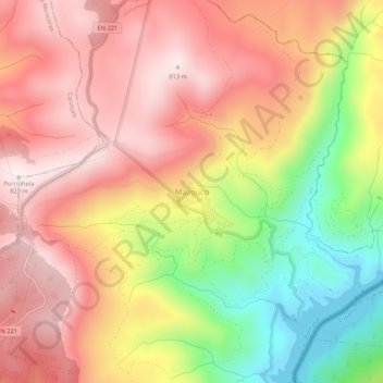
Name: Mazouco topographic map, elevation, terrain.
Location: Mazouco, Freixo de Espada à Cinta, Bragança, Portugal (41.12898 -6.80534 41.16898 -6.76534)
Average elevation: 1,834 ft
Minimum elevation: 627 ft
Maximum elevation: 2,680 ft
Thank you for supporting this site ❤️
Make a donation
Make a donation
Gear up for your next adventure:
As an Amazon Associate, this site earns from qualifying purchases at no extra cost to you.