
Springfield Township topographic map
Click on the map to display elevation.
About this map
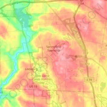
Name: Springfield Township topographic map, elevation, terrain.
Average elevation: 1,257 ft
Minimum elevation: 1,010 ft
Maximum elevation: 1,430 ft
Mercer County trails, hiking, mountain biking, running and outdoor activities
Other topographic maps
Click on a map to view its topography, its elevation and its terrain.
Jackson Township
United States > Pennsylvania > Mercer County > Jackson Township
Average elevation: 1,266 ft
Greencrest Park
United States > Pennsylvania > Mercer County > Pymatuning Township
Average elevation: 1,017 ft