Geolocate

绣源河 topographic map

Interactive map

Click on the map to display elevation.

About this map

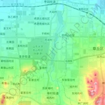
Name: 绣源河 topographic map, elevation, terrain.

Location: 绣源河, 章丘区, 济南市, 山东省, 中国 (36.62223 117.45825 36.73064 117.47557)

Average elevation: 371 ft

Minimum elevation: 180 ft

Maximum elevation: 1,030 ft

Other topographic maps

Click on a map to view its topography, its elevation and its terrain.

梅家水库

中国 > 山东省 > 章丘区 > 宋上庄

梅家水库, 宋上庄, 圣井街道, 章丘区, 济南市, 山东省, 中国

Average elevation: 390 ft

垛庄镇

中国 > 山东省 > 章丘区

垛庄镇, 章丘区, 济南市, 山东省, 中国

Average elevation: 1,391 ft

宁家埠街道

中国 > 山东省 > 章丘区

宁家埠街道, 章丘区, 济南市, 山东省, 中国

Average elevation: 92 ft

绣源

中国 > 山东省 > 章丘区

绣源, 章丘区, 济南市, 山东省, 中国

Average elevation: 151 ft

龙山街道

中国 > 山东省 > 章丘区

龙山街道, 章丘区, 济南市, 山东省, 中国

Average elevation: 148 ft

南芽

中国 > 山东省 > 章丘区

南芽, 章丘区, 济南市, 山东省, 中国

Average elevation: 62 ft

高官寨街道

中国 > 山东省 > 章丘区 > 高官寨街道

高官寨街道, 济南新旧动能转换起步区, 章丘区, 济南市, 山东省, 中国

Average elevation: 69 ft